Remote Water Detection and Aquifer Mapping
Find Underground Water Before You Drill.
Advanced remote sensing technology identifies:
- Underground aquifers
- Water depth
- Water quantity estimates
- Optimal drilling locations
- Dewatering requirements
- Groundwater resources
Supported by Skyline's full engineering, construction management, and technical consulting services.
UPLOAD PROPERTY COORDINATES
We will get back to you as soon as possible.
Please try again later.
Featured Service:
Underground Water Detection
Water is often the most important factor in land development, agriculture, community planning, mining, and infrastructure projects. Finding it through trial-and-error drilling can be costly, slow, and uncertain.
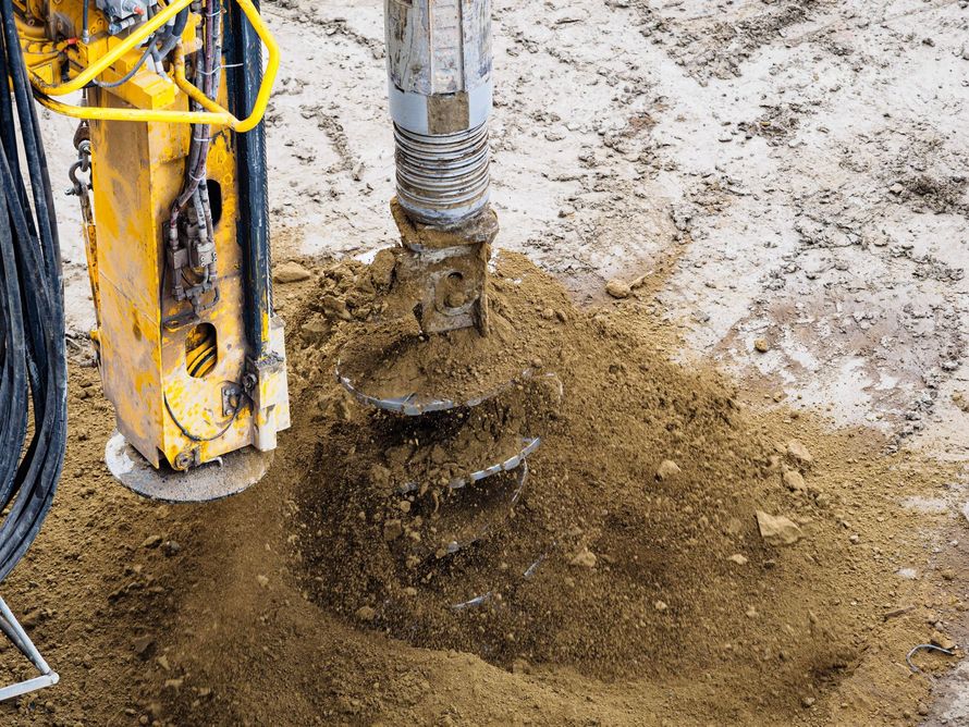
Skyline uses advanced geophysical scanning and remote analysis to help locate groundwater targets before drilling starts. This gives clients a clearer understanding of where to drill, how deep water may be located, and whether the site has strong potential for water access.
Our water detection services are especially valuable for:
- Private landowners
- Farms and agricultural sites
- Developers
- Water well drilling teams
- Municipal and community projects
- Caribbean and international water projects
- Mining and mineral exploration teams
- Utility and infrastructure planners
Skyline is still a full-service engineering firm, but water scanning and subsurface detection are now front and center because they are among our most valuable and specialized capabilities.
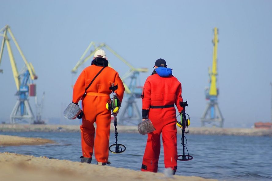
Case Study
Project: St. Elizabeth, Jamaica
Property Size: 50 acres
Service: Remote aquifer mapping and groundwater target identification
Goal: Locate potential underground water before drilling
Result: Aquifer target identified for well placement
Recommended Additions: Water depth, drilling result, and estimated gallons per day once confirmed
Find Underground Water Before You Drill
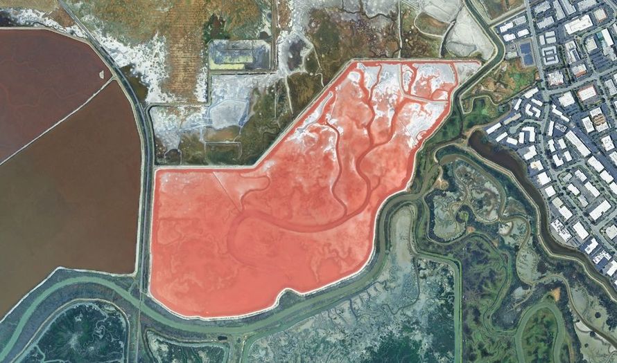
Skyline Engineering and CMT Services helps property owners, developers, engineers, communities, and infrastructure teams locate underground water with advanced remote sensing and geophysical scanning technology.
Before investing in exploratory drilling, we help identify:
- Underground aquifers
- Potential water depth
- Estimated water quantity
- Optimal drilling locations
- Dewatering requirements
- Groundwater resources
- Mineral and ore targets
- Subsurface utilities and fault lines
Our goal is simple:
help you make smarter decisions before expensive field work begins.
Primary Services
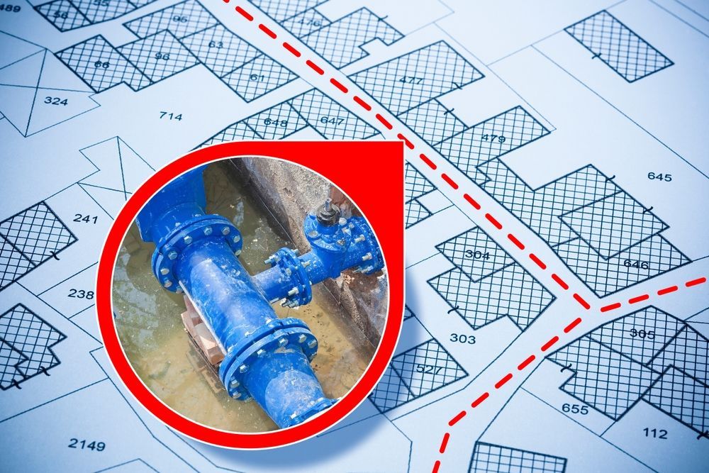
Underground Water Detection
Locate potential groundwater sources before drilling exploratory wells.
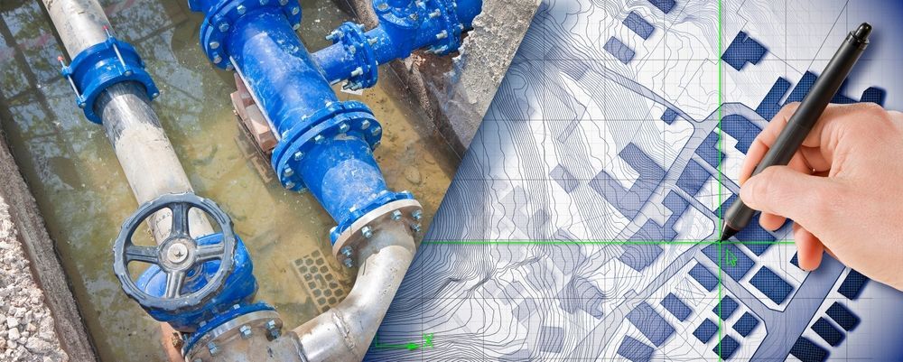
Remote Aquifer Mapping
Identify aquifer zones, water-bearing formations, and likely groundwater movement.
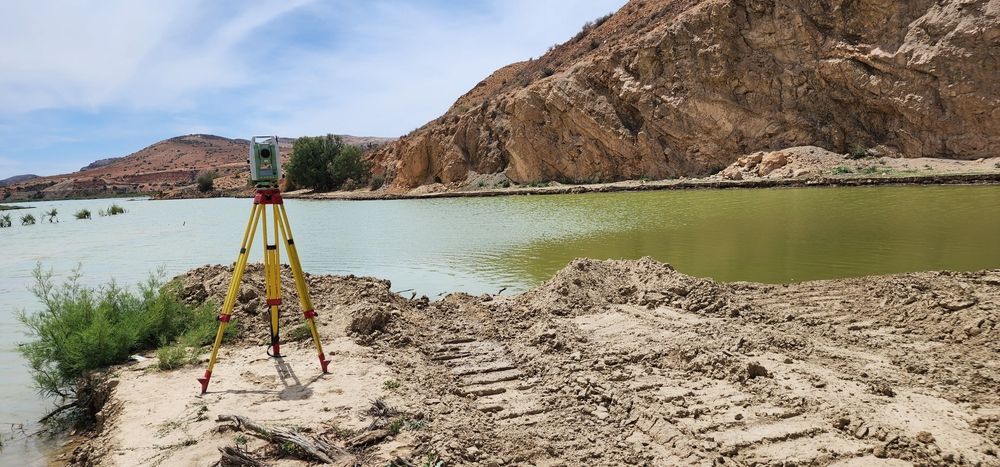
Mineral & Ore Detection
Support mineral exploration by identifying subsurface targets and material patterns.
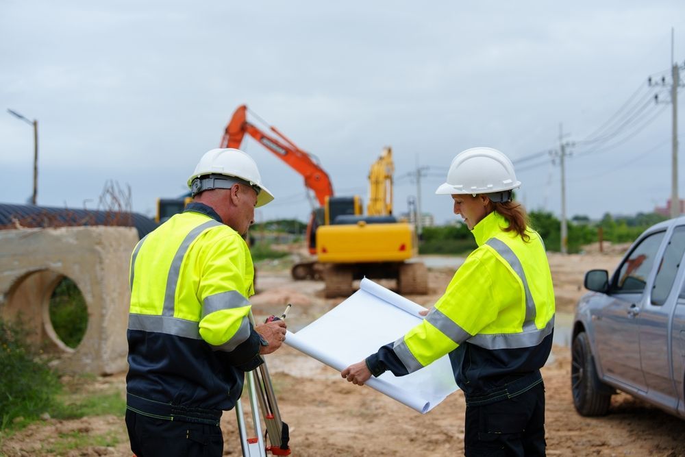
Geotechnical Subsurface Scanning
Evaluate underground conditions that may affect construction, foundations, roads, or utilities.
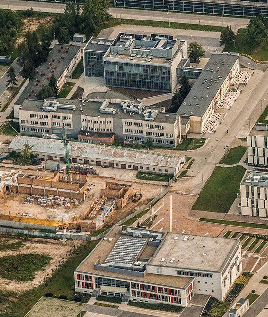
Utility Location Services
Locate buried infrastructure and reduce the risk of costly utility conflicts.
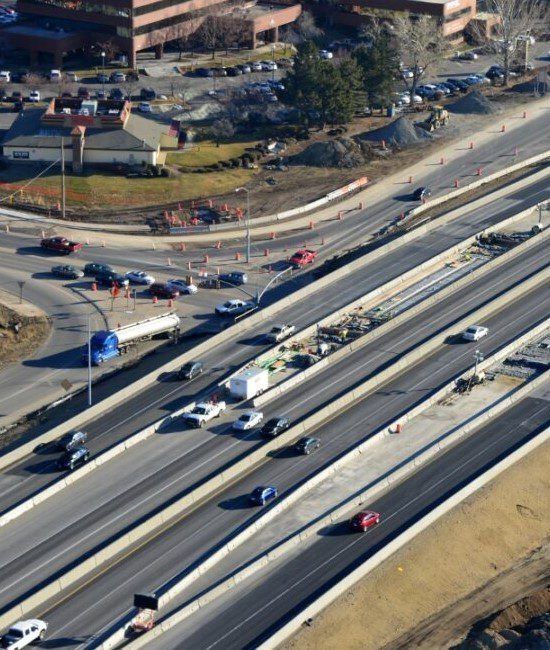
Fault Line Identification
Identify subsurface fault patterns that may affect development, construction, or risk planning.
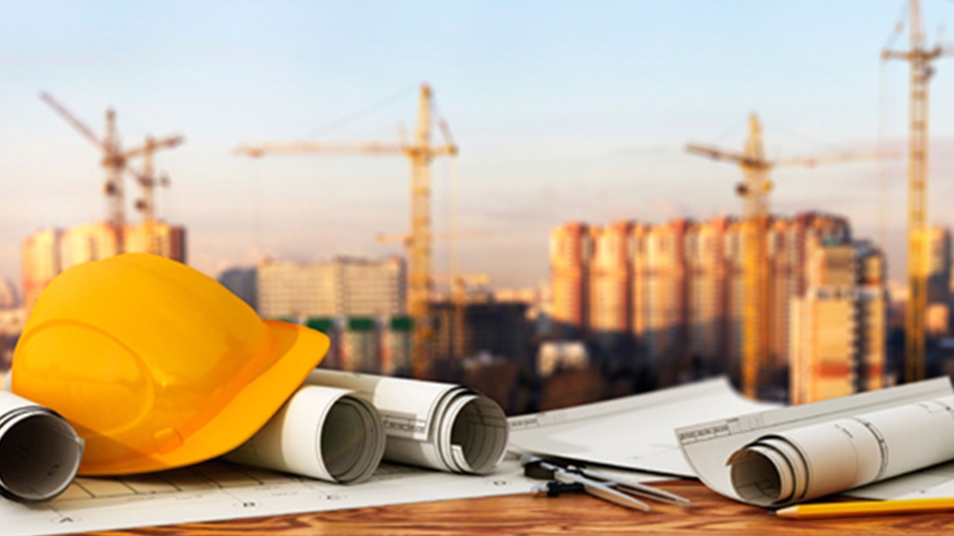
Civil Works
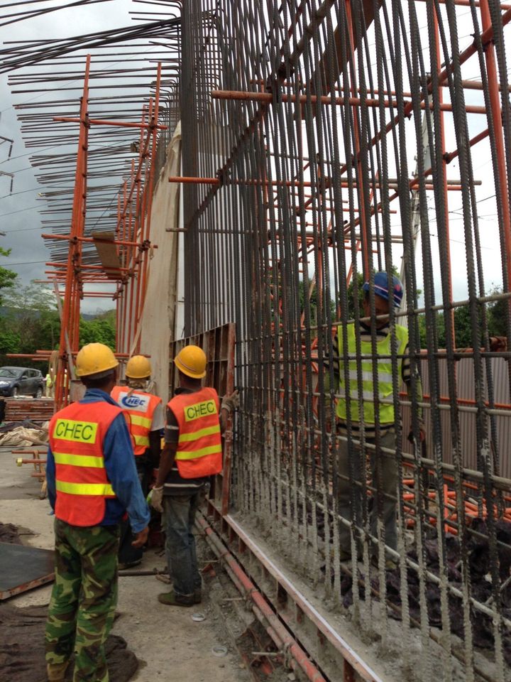
Support roads, bridges, infrastructure, water systems, and large-scale development projects with engineering expertise.
We work with developers, contractors, architects, municipalities, and property owners, providing clear engineering guidance at every stage.
How Our Water Scanning Works
Today’s projects demand more than standard engineering. Skyline Engineering integrates advanced tools and emerging technologies to deliver smarter, more efficient results.
1. Submit Property Location or Coordinates
Send us your site address, GPS coordinates, property boundary, or project area.
2. Remote Sensing Analysis Begins
Our team reviews the site using advanced scanning methods and geophysical interpretation.
3. Aquifer Targets Are Identified
We evaluate potential groundwater zones, subsurface patterns, and drilling target areas.
4. Water Depth and Yield Potential Are Estimated
We provide practical insight into likely water depth and potential quantity where data allows.
5. Drilling Recommendations Are Provided
You receive clear recommendations to support well placement, planning, and next steps.
Engineering Services Still Available
While water scanning is the primary focus, Skyline continues to provide professional engineering and technical services, including:
- CMT Services
- QM & QC
- Management Services
- Training
- Technical Services
- Architectural & Structural Design
- Geophysical Scanning
- Environmental Services
- Consulting Services
- Windstorm Engineering Inspection
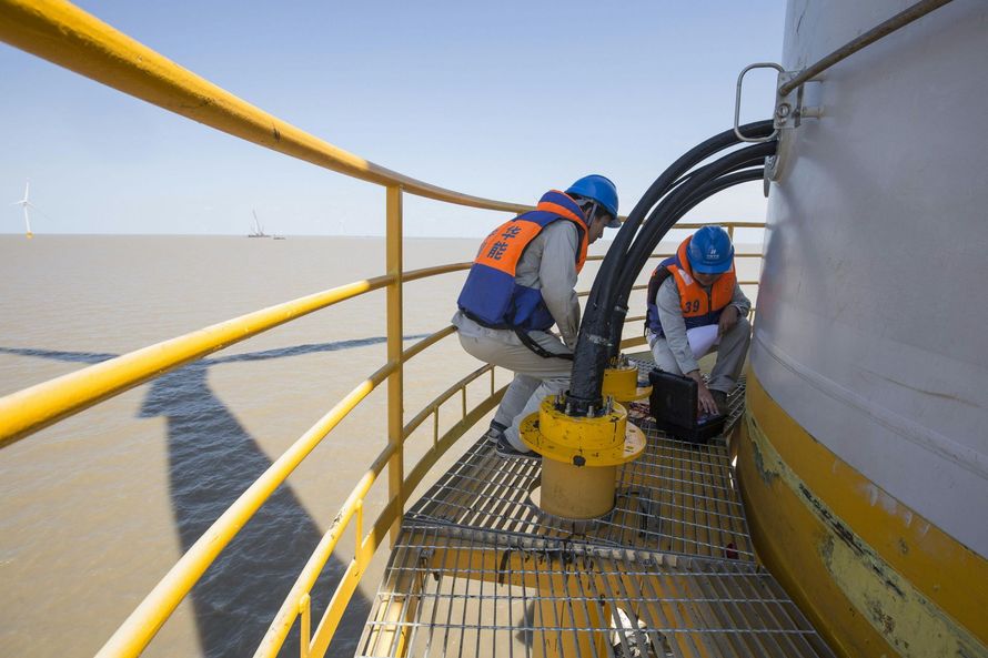
reports and certifications
Why Remote Water Detection Matters
Drilling without data can waste time and money. A single unsuccessful well can be expensive, especially on large rural properties, remote sites, islands, farms, or infrastructure projects.
Remote water detection helps reduce uncertainty by giving your team a better starting point.
Key benefits include:
Lower exploratory drilling risk
Better well site selection
Faster project planning
Reduced field investigation costs
Stronger data before committing to drilling
Support for communities needing dependable water access
For projects in the Caribbean, remote or rural areas, this can be especially valuable. Skyline helps clients identify water opportunities before major resources are committed.
Built on Engineering Experience
Skyline Engineering and CMT Services is based in Pearland, TX and has experience across engineering, construction, infrastructure, and technical consulting. The current site presents Skyline as an infrastructure and engineering firm, with services including CMT, quality management, training, technical services, geophysical scanning, environmental services, consulting, and windstorm inspection.
That broader engineering background strengthens our scanning work. We do not simply identify subsurface targets—we understand how those findings connect to construction, utilities, water systems, civil works, and long-term project planning.
Our supporting capabilities include:
- Engineering consulting
- Civil engineering services
- Construction materials testing
- Quality management and quality control
- Structural and architectural design
- Environmental permitting support
- Windstorm engineering inspection
- Infrastructure and transportation support
Water scanning is the priority. Engineering is the foundation behind it.
Who We Help
Skyline works with clients who need dependable subsurface information before making major decisions.
We support:
- Landowners looking for well water
- Developers evaluating property
- Farmers and agricultural operations
- Municipal and community water projects
- Caribbean water resource projects
- Mining and mineral exploration teams
- Utility and infrastructure planners
- Contractors and civil engineering teams
Whether the goal is water, minerals, utilities, or subsurface risk reduction, our team provides practical insight before work begins.
Frequently Asked Questions
Can you locate underground water before drilling?
Yes. Skyline uses advanced remote sensing and geophysical scanning to identify potential groundwater and aquifer targets before drilling.
Do I need to send property coordinates?
Yes. Coordinates, property boundaries, or a site location help us evaluate the correct area.
Can you estimate water depth?
In many cases, we can provide estimated depth ranges based on scanning results and site conditions.
Do you support projects outside Texas?
Yes. Skyline supports national and international projects, including Caribbean water and infrastructure work.
Do you also detect minerals or utilities?
Yes. Our scanning services can support mineral detection, utility location, subsurface mapping, and fault line identification.
Request a Water Scan
Find out what is beneath your property before you drill.
Call now
Email us
Upload Your Property Coordinates
We will get back to you as soon as possible.
Please try again later.